MAKE A MEME
View Large Image

| View Original: | Karte_von_Jerusalem_und_seiner_naechsten_Umgebungen_-_geometrisch_aufgenommen_von_F.W._Sieber_im_Jahre_1818._ins_reine_gezeichnet_von_J._Wach._gestochen_von_J._Stoelzel.jpg (2850x2141) | |||
| Download: | Original | Medium | Small | Thumb |
| Courtesy of: | commons.wikimedia.org | More Like This | ||
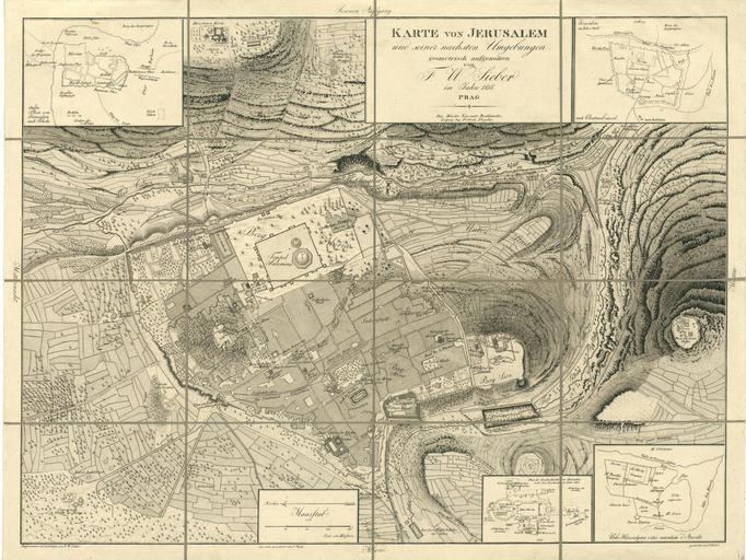
| Keywords: Karte von Jerusalem und seiner naechsten Umgebungen - geometrisch aufgenommen von F.W. Sieber im Jahre 1818. ins reine gezeichnet von J. Wach. gestochen von J. Stoelzel.jpg ū×ūżūö ū®ū ūÖū©ūĢū®ū ūÖū http //web nli org il/sites/NLI/Hebrew/digitallibrary/Laor-Collection/Pages/maps aspx en A topographical plan of Jerusalem seen from the south-east by Sieber One of the first measurment maps of the city 1823 he ū×ūżū¬ ū×ūōūÖūōūö ū×ūĢū¦ūōū×ū¬ ū®ū ūÖū©ūĢū®ū ūÖū ū×ūÉū¬ ūĪūÖūæū© ūżū©ūÉūÆ 1823 Dimensions 438x584 mm http //web nli org il/sites/NLI/Hebrew/digitallibrary/pages/viewer aspx presentorid NLI_MAPS_JER DocID NNL_MAPS_JER002368185 Click to enlarge http //web nli org il/sites/NLIS/en/Maps The Eran Laor Cartographic Collection National Library of Israel 2015-12-08 17 41 38 http //web nli org il/sites/NLI/English/Pages/default aspx The National Library of Israel PD-old Old maps of Jerusalem GLAM National Library of Israel Laor collection | ||||