MAKE A MEME
View Large Image
| View Original: | Karte_Schlesien_Reis-Atlas.jpg (2083x2775) | |||
| Download: | Original | Medium | Small | Thumb |
| Courtesy of: | commons.wikimedia.org | More Like This | ||
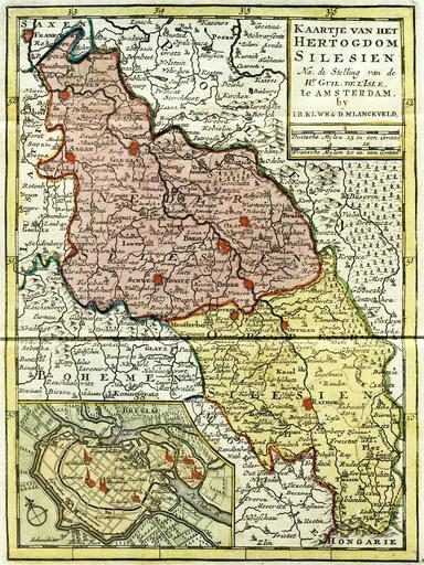
| Keywords: Karte Schlesien Reis-Atlas.jpg en Dutch map of Silesia ca 1700 de Niederländische Karte des Herzogtums Schlesien um 1700 Aus dem Reis-Atlas Volkomen Reis-Atlas van geheel Duitschland Elwe Langeveld century 18 Maps of Silesia PD-old | ||||