MAKE A MEME
View Large Image
| View Original: | Karte_MH_um_1790.JPG (3617x2294) | |||
| Download: | Original | Medium | Small | Thumb |
| Courtesy of: | commons.wikimedia.org | More Like This | ||
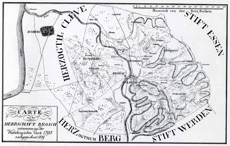
| Keywords: Karte MH um 1790.JPG historische Karte von Mülheim an der Ruhr Wiebingsche Carte; Kartenbilder 1708-1983; transfered from German Wikipedia uploaded there by user Omi´s Törtchen on 2008-01-06 ca 1790 unbekannt; nachgezeichnet 1819 PD-old Historical maps of Mülheim an der Ruhr | ||||