MAKE A MEME
View Large Image
| View Original: | Karte-Mecklenburg 1250.PNG (2437x1787) | |||
| Download: | Original | Medium | Small | Thumb |
| Courtesy of: | commons.wikimedia.org | More Like This | ||
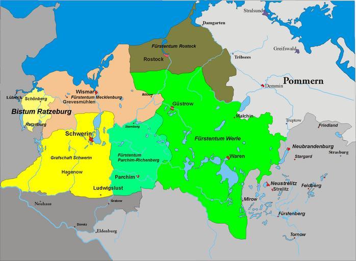
| Keywords: Karte-Mecklenburg 1250.PNG Karte von Mecklenburg um 1250 selbst abgezeichnet nach Vorlage von de Benutzer Störfix 2006-12-16 alma Maps of the Holy Roman Empire Maps of Mecklenburg 1250 | ||||