MAKE A MEME
View Large Image
| View Original: | Karte_Boettcherberg.JPG (359x289) | |||
| Download: | Original | Medium | Small | Thumb |
| Courtesy of: | commons.wikimedia.org | More Like This | ||
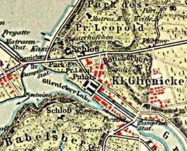
| Keywords: Karte Boettcherberg.JPG Map Böttcherberg Berlin-Glienicke segment from the map Potsdam and environments around 1900 scale 1 42 000 First uploaded to de wikipedia 16 27 11 Feb 2005 by de Benutzer Lienhard Schulz From Meyers Konversationslexikon 6th edition 1905-1909 < 1905 Author Public domain PD-old Maps from Meyers Konversationslexikon Berlin Glienicke Maps of Potsdam Meyers Prince Friedrich Leopold of Prussia Böttcherberg Potsdam in the 1900s Parts of old maps of Berlin Maps of Berlin-Wannsee Bottcherberg | ||||