MAKE A MEME
View Large Image
| View Original: | Kalk_1773.jpg (728x508) | |||
| Download: | Original | Medium | Small | Thumb |
| Courtesy of: | commons.wikimedia.org | More Like This | ||
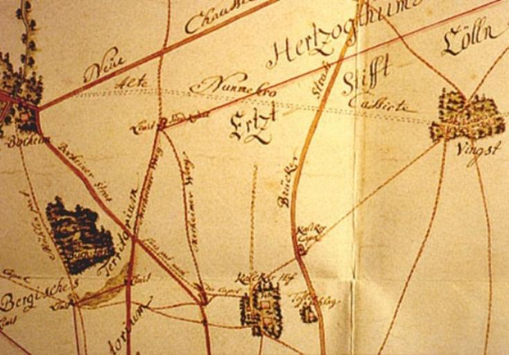
| Keywords: Kalk 1773.jpg Karte von Köln-Kalk und Umgebung aus dem Jahre 1773 Eigenscan aus Rheinischer Städteatlas Lfg X Nr 54 Kalk des Landschaftsverband Rheinland 1992 1773 author PD-old-100 Cologne in the 18th century Parts of old maps of Cologne Köln-Kalk Köln-Vingst 1773 | ||||