MAKE A MEME
View Large Image
| View Original: | Kaffirland map.png (1120x1898) | |||
| Download: | Original | Medium | Small | Thumb |
| Courtesy of: | commons.wikimedia.org | More Like This | ||
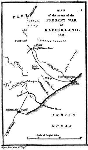
| Keywords: Kaffirland map.png en A sketch map of the region of South Africa called Kaffirland in the 1840s 1851-05-01 Five years in Kaffirland with sketches of the late war in that country to the conclusion of peace written on the spot Third edition London 1851 Harriet Ward d 1873 Map by her husband b 1798 other versions PD-old-70-1923 South Africa in the 1840s British Empire in the 1840s | ||||