MAKE A MEME
View Large Image
| View Original: | KAARTEN SGD - Situatie van het terrein aan de Kortenaer-kade.jpeg (2740x1924) | |||
| Download: | Original | Medium | Small | Thumb |
| Courtesy of: | commons.wikimedia.org | More Like This | ||
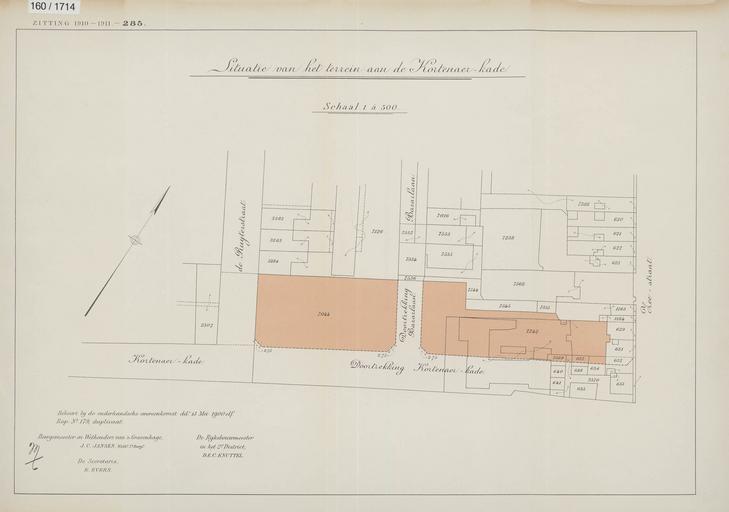
| Keywords: KAARTEN SGD - Situatie van het terrein aan de Kortenaer-kade.jpeg accession number en The individual creators of this map are unknown it was commissioned by the House of Representatives of the Netherlands Op de kaart zijn de eigendommen te onderscheiden die in aanmerking komen voor onteigening ten behoeve van de stichting van een gebouw ten dienste van het rijk help warp This map was digitized by the Institution Koninklijke Bibliotheek ; Koninklijke Bibliotheek 52 0916666666667 The Hague 4 29166666666666 map date 1911 grond-onteigening eigendom en gebruiksrecht onroerend goed other fields other versions CC0 print date 1911 This map was commissioned and published by the Institution Tweede Kamer 1 500 This image in context http //www statengeneraaldigitaal nl/document id sgd mpeg21 19101911 0001565 pagina 3; Tweede Kamer KAARTEN SGD - Situatie van het terrein aan de Kortenaer-kade wikidata location wikidata title Uploaded with GWToolset KAARTEN SGD - Situatie van het terrein aan de Kortenaer-kade http //resolver kb nl/resolve urn sgd mpeg21 19101911 0001565 0003 image | ||||