MAKE A MEME
View Large Image
| View Original: | KAARTEN SGD - Map of the Djagoei-Territory and the agreed boundary.jpeg (2914x3196) | |||
| Download: | Original | Medium | Small | Thumb |
| Courtesy of: | commons.wikimedia.org | More Like This | ||
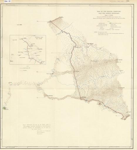
| Keywords: KAARTEN SGD - Map of the Djagoei-Territory and the agreed boundary.jpeg accession number en The individual creators of this map are unknown it was commissioned by the House of Representatives of the Netherlands help warp This map was digitized by the Institution Koninklijke Bibliotheek ; Koninklijke Bibliotheek 1 33333333333333 109 966666666667 map date 1929 internationale grenswijzigingen other fields other versions CC0 print date 1929 This map was commissioned and published by the Institution Tweede Kamer 1 50 000 This image in context http //www statengeneraaldigitaal nl/document id sgd mpeg21 19291930 0001295 pagina 2; Tweede Kamer KAARTEN SGD - Map of the Djagoei-Territory and the agreed boundary wikidata location wikidata title Uploaded with GWToolset KAARTEN SGD - Map of the Djagoei-Territory and the agreed boundary http //resolver kb nl/resolve urn sgd mpeg21 19291930 0001295 0002 image Media contributed by Tweede Kamer Dutch East Indies | ||||