MAKE A MEME
View Large Image
| View Original: | Ivan Sat Img Sept 7 2004.jpg (833x656) | |||
| Download: | Original | Medium | Small | Thumb |
| Courtesy of: | commons.wikimedia.org | More Like This | ||
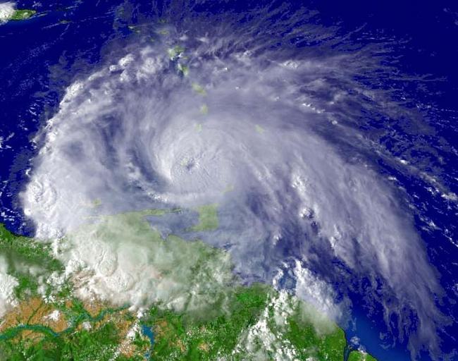
| Keywords: Ivan Sat Img Sept 7 2004.jpg Saffir-Simpson Hurricane Scale At the time Ivan was located at about 11 9° N 61 2° W Photo as taken from a satellite with the GOES-12 1 km visible imagery NOAA http //www nnvl noaa gov/cgi-bin/index cgi page items ser 108174 large 1 2004-09-07 19 45 UTC NOAA Quote from http //www nnvl noaa gov/cgi-bin/index cgi page disclaimer - The information provided here is public domain and may be used freely by the public 11 9 -61 2 PD-USGov Picture of the day 2004 11 30 Satellite pictures of Hurricane Ivan GOES 12 pictures Ivan | ||||