MAKE A MEME
View Large Image
| View Original: | Inter-ValleyConfMap.PNG (934x775) | |||
| Download: | Original | Medium | Small | Thumb |
| Courtesy of: | commons.wikimedia.org | More Like This | ||
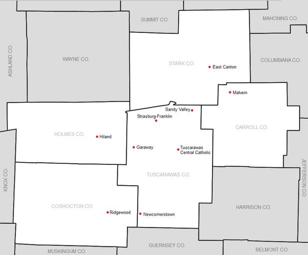
| Keywords: Inter-ValleyConfMap.PNG map showing league member locations http //ftp2 census gov/geo/maps/general_ref/cousub_outline/cen2k_pgsz/oh_cosub pdf 03 24 3 August 2010 UTC Frank12 PD-USGov Original upload log en wikipedia Inter-ValleyConfMap PNG wikitable - 2013-08-19 23 59 934×775× 68762 bytes Frank12 Removed Conotton Valley and added East Canton - 2010-08-03 03 24 960×555× 21559 bytes Frank12 map showing league member locations http //ftp2 census gov/geo/maps/general_ref/cousub_outline/cen2k_pgsz/oh_cosub pdf ~~~~~ Frank12 other_vers Sports maps of the United States | ||||