MAKE A MEME
View Large Image
| View Original: | Insularium Illustratum (Additional MS 15760, ff.63v-64r).jpeg.jpg (7808x5758) | |||
| Download: | Original | Medium | Small | Thumb |
| Courtesy of: | commons.wikimedia.org | More Like This | ||
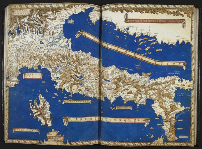
| Keywords: Insularium Illustratum (Additional MS 15760, ff.63v-64r).jpeg accession number An account of the islands of the Mediterranean and of some others with coloured plans and a few general maps Institution British Library map date other fields Information field British Library Shelfmark Additional MS 15760 ff 63v-64r other versions PD-old print date British Library image Add MS 15760 yes Insularium Illustratum warp status wikidata location wikidata title Uploaded with GWToolset Insularium Illustratum Additional MS 15760 ff 63v-64r http //www webarchive org uk/bldatasets/MapImages/Pelagios/InsulariumIllustratum/add_ms_15760_f063v_64r jpeg Collections_of_the_British_Library British_Library_Maps_Collections Insularium_Illustratum Henricus_Martellus_Germanus Ptolemy's 6th European Map | ||||
.jpeg.jpg)