MAKE A MEME
View Large Image
| View Original: | IndoGangeticPlain Map.png (433x290) | |||
| Download: | Original | Medium | Small | Thumb |
| Courtesy of: | commons.wikimedia.org | More Like This | ||
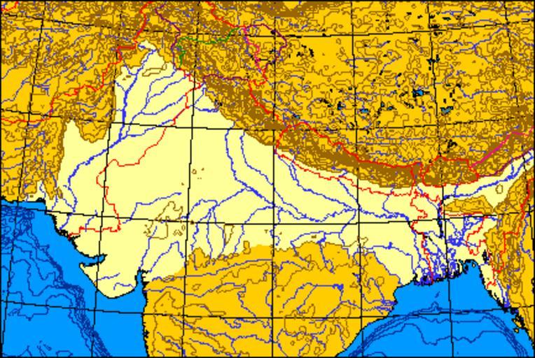
| Keywords: IndoGangeticPlain Map.png Map of the Indo-Gangetic Plain I produced this map myself using the program http //www aquarius geomar de/omc/make_map html here and modifying it It remains in the public domain The map is an azimuthal equal-area projection The Line of Control through Kashmir is green Where the line of control along the Indo-Chinese frontier coincides with one side's territorial claims the line is pink; borders claimed but not controlled are purple Non-disputed boudaries are in red QuartierLatin1968 01 36 21 May 2005 UTC Small images Maps of the Ganges River Ganges Basin | ||||