MAKE A MEME
View Large Image
| View Original: | HUC 031300010802 topographic map.tiff (1560x1132) | |||
| Download: | Original | Medium | Small | Thumb |
| Courtesy of: | commons.wikimedia.org | More Like This | ||
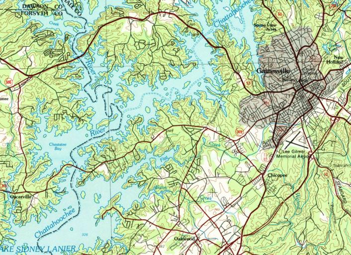
| Keywords: HUC 031300010802 topographic map.tiff en HUC 031300010802 topographic map using the 1979 Commerce 30x60 grid showing Flat Creek and Lake Lanier 2016-01-13 GA_Commerce_247635_1979_100000_geo pdf downloaded from store usgs gov USGS other versions PD-USGov Geography of the United States Hydrology in the United States United States Geological Survey maps Basins of the United States Hydrologic Unit Code maps of the United States Topographic maps of the United States | ||||