MAKE A MEME
View Large Image
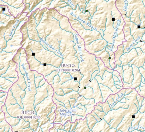
| View Original: | HUC_031300010204_-_Beaverdam_Creek-Middle_Soque_River.PNG (441x401) | |||
| Download: | Original | Medium | Small | Thumb |
| Courtesy of: | commons.wikimedia.org | More Like This | ||
| Keywords: HUC 031300010204 - Beaverdam Creek-Middle Soque River.PNG en HUC 031300010204 - Beaverdam Creek-Middle Soque River Beaverdam Creek coming from the northwest joining the Soque River which cuts through the sub-watershed from the southeast to the southwest 2015-12-29 http //viewer nationalmap gov/viewer/nhd html p nhd b base1 q 031300010204 x -9300589 628409434 y 4114441 4458281873 l 12 v USGS other versions PD-USGov Geography of the United States Hydrology in the United States United States Geological Survey maps Basins of the United States Maps of rivers of the United States Uploaded with UploadWizard | ||||