MAKE A MEME
View Large Image
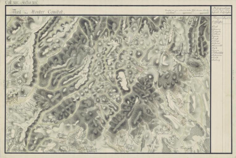
| View Original: | Honter Comitat Josephinische Landaufnahme XIV XIV Felso Palast-1782.jpg (4299x2880) | |||
| Download: | Original | Medium | Small | Thumb |
| Courtesy of: | commons.wikimedia.org | More Like This | ||
| Keywords: Honter Comitat Josephinische Landaufnahme XIV XIV Felso Palast-1782.jpg Honter County Josephinische Landesaufnahme 1782-85 Hont vármegye része az első katonai felmérés térképén 1782-1785 Comitatul Honter în Harta Iosefină a Regatului Ungariei 1782-85 Hontianska župa Jozefinské mapovanie 1782-1785 1782-1785 Honvédelmi Minisztérium Hadtörténeti Intézete és Múzeuma Historische Militärkarte der österreichisch-ungarischen Monarchie Custom license marker 2012 03 26 PD-old-100 Uploaded with UploadWizard Files uploaded by User Pe-Jo Old maps of Hont County Josephinische Landaufnahme Old maps of Plášťovce Hrušov Veľký Krtíš District Old maps of Slovakia Rykynčice Ipeľské Úľany Medovarce Vinica Slovakia Kleňany | ||||