MAKE A MEME
View Large Image

| View Original: | Hochstift_Minden_1500.png (299x187) | |||
| Download: | Original | Medium | Small | Thumb |
| Courtesy of: | commons.wikimedia.org | More Like This | ||
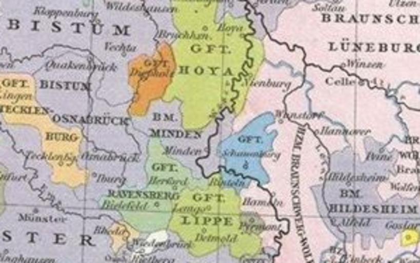
| Keywords: Hochstift Minden 1500.png Hochstift Minden in Westfalen um 1500 Johann Gustav Droysen Allgemeiner historischer Handatlas in 96 Karten mit erläuterndem Text Velhagen Klasing 1886 http //141 84 81 24/lexikothek/droysen/ Digitalized version PD-old Maps of territories in the Lower Rhenish-Westphalian Circle Minden 1500 Old maps of Fürstentum Minden Maps of the history of North Rhine-Westphalia | ||||