MAKE A MEME
View Large Image
| View Original: | Helsinki_Map_1645.png (466x632) | |||
| Download: | Original | Medium | Small | Thumb |
| Courtesy of: | commons.wikimedia.org | More Like This | ||
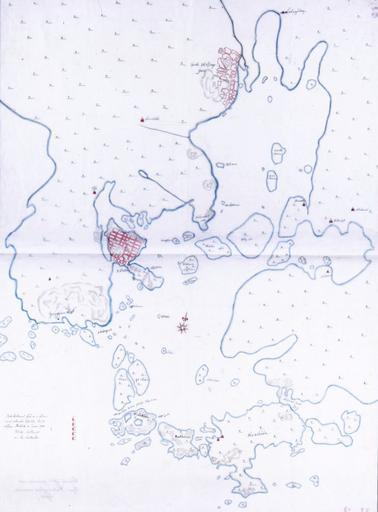
| Keywords: Helsinki Map 1645.png en A very early map of Helsinki Finland from 1645 The map shows both old Helsinki at the mouth of the Vantaa River as well as new Helsinki fi Helsingin kartta vuodelta 1645 Helsingin kaupunginarkisto 1645 Hans Hansson likely en The copyrights have expired and this image is in the public domain fi Kartan tekijänoikeus vanhentunut PD-old-100 Old maps of Helsinki | ||||