MAKE A MEME
View Large Image
| View Original: | Halligen_1858.png (2368x2784) | |||
| Download: | Original | Medium | Small | Thumb |
| Courtesy of: | commons.wikimedia.org | More Like This | ||
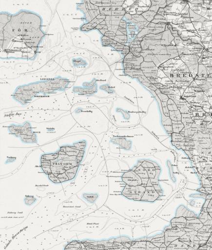
| Keywords: Halligen 1858.png Das Gebiet der Halligen um 1850 Dänische Generalstabskarte von 1858 Ausschnitt PD-old From de Bild Halligen_1858 png By de Benutzer Schnargel North Frisian Islands Maps of Kreis Nordfriesland Old maps of Schleswig-Holstein Maps of islands of Germany in the North Sea | ||||