MAKE A MEME
View Large Image
| View Original: | Greater Manchester Urban Area 2001.png (800x558) | |||
| Download: | Original | Medium | Small | Thumb |
| Courtesy of: | commons.wikimedia.org | More Like This | ||
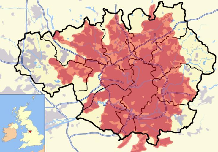
| Keywords: Greater Manchester Urban Area 2001.png File Greater Manchester Urban Area 2001 svg A map roughly outlining the Office for National Statistics' official Greater Manchester Urban Area conurbation territory superimposed in red over the county of Greater Manchester Image based on ONS material from 2001 Own 2007-09 Jhamez84 Maps of Greater Manchester | ||||