MAKE A MEME
View Large Image

| View Original: | GOES13_Visible_2013-05-19_231018Z.jpg (1290x1290) | |||
| Download: | Original | Medium | Small | Thumb |
| Courtesy of: | commons.wikimedia.org | More Like This | ||
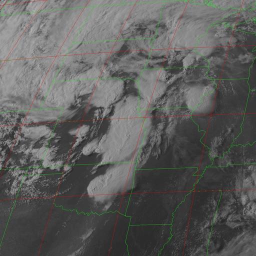
| Keywords: GOES13 Visible 2013-05-19 231018Z.jpg en GOES 13 Band 1 visible satellite image from May 19 2013 taken at 23 10 18 UTC showing severe thunderstorms over the Midwestern and Southern United States Comprehensive Large Array-Data Stewardship System National Environmental Satellite Data and Information Service 2013-05-19 May 18 “21 2013 tornado outbreak Maps of weather in 2013 PD-USGov | ||||