MAKE A MEME
View Large Image
| View Original: | Giurtelecu_Șimleului_in_the_18th_century.jpg (587x614) | |||
| Download: | Original | Medium | Small | Thumb |
| Courtesy of: | commons.wikimedia.org | More Like This | ||
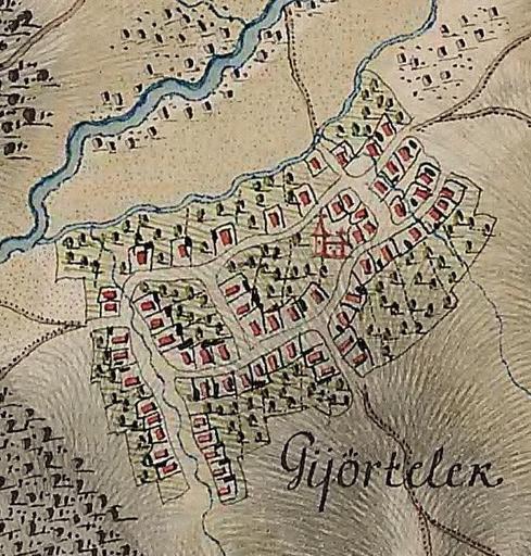
| Keywords: Giurtelecu Șimleului in the 18th century.jpg Giurtelecu Şimleului in the 18th century The map was drawn between 1769 and 1773 Giurtelecu Șimleului http //commons wikimedia org/wiki/File Josephinische_Landaufnahme_pg016 jpg Historische Militärkarte der österreichisch-ungarischen Monarchie 1769-1773 PD-old-100 cc-by-sa-3 0 History of Giurtelecu Șimleului Maps of Giurtelecu Șimleului 1770s maps | ||||