MAKE A MEME
View Large Image
| View Original: | Gebiet_der_freien_Hansestadt_Bremen_1860.png (5193x3664) | |||
| Download: | Original | Medium | Small | Thumb |
| Courtesy of: | commons.wikimedia.org | More Like This | ||
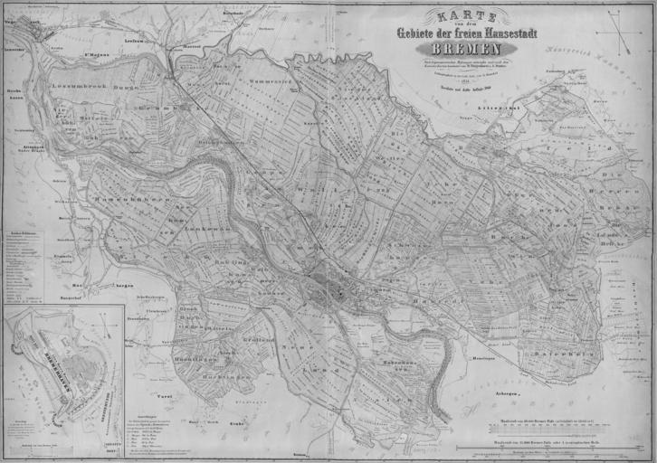
| Keywords: Gebiet der freien Hansestadt Bremen 1860.png Topographic map of the territory of Bremen in 1860 revised 3rd edition of the map of 1851 by the same authors Staatsarchiv Bremen 1860 scan 2015-01-02 A Thätjenhorst A Duntze print G Hunckel; scan Ulamm <span class signature-talk ></span> 12 51 3 January 2015 UTC Old maps of Bremen 1860 1860 in Bremen 1860s maps PD-old-100 | ||||