MAKE A MEME
View Large Image

| View Original: | FĂĽrstentum_Hohenlohe_Karte.png (9319x7805) | |||
| Download: | Original | Medium | Small | Thumb |
| Courtesy of: | commons.wikimedia.org | More Like This | ||
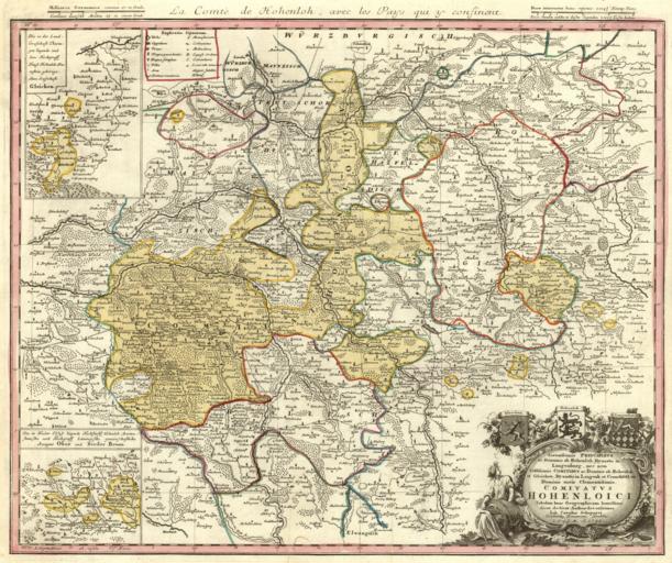
| Keywords: FĂĽrstentum Hohenlohe Karte.png FĂĽrstentums Hohenlohe kolorierter Kupferstich Principality of Hohenlohe colorized copper engraving 1748 Homann Erben NĂĽrnberg 1748 http //mapy mzk cz/de/mzk03/001/055/850/2619321362/ Kartensammlung Moll Johann Karl Chapuset 1694 “1770 Printed by Homann Heirs 1748 <gallery>Hohenlohe-Karte-1748 jpg</gallery> SereniĹżsimis Principibvs ac Dominis ab Hohenloh Dynastis in Langenburg nec non CelĹżiĹżsimis Comitibvs ac Dominis ab Hohenloh et Gleichen Dynastis in Langenb et Cranchfeld etc Dominis meis ClementiĹżsimis Comitatvs Hohenloici Tabulam hanc Geographicam humillime dicat dedicat Author devotiĹżsimus Ioh Carolus Schapuzet Excudentibus Homannianis Heredibus C P S C M A 1748 PD-old-100 Hohenlohe 18th-century copper engravings Maps by Homannsche Erben 1748 maps Old maps of the Holy Roman Empire 18th-century maps of Baden-WĂĽrttemberg Coats of arms on maps | ||||