MAKE A MEME
View Large Image
| View Original: | Frey-Haverstick Site.jpg (6016x4000) | |||
| Download: | Original | Medium | Small | Thumb |
| Courtesy of: | commons.wikimedia.org | More Like This | ||
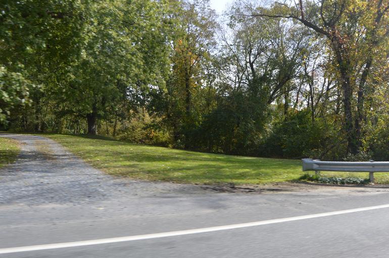
| Keywords: Frey-Haverstick Site.jpg 86000819 39 59 44 N 76 28 19 W Overview of the southern section of the w Frey-Haverstick Site seen looking east from Water Street Pennsylvania Route 441 Route 441 on the northern edge of Washington Boro Pennsylvania Washington Boro Pennsylvania United States Once a village of the Susquehannock Conestoga Indians it is now a significant archaeological site and it has been listed on the National Register of Historic Places own 2014-10-20 User Nyttend Nyttend Abandoned villages Archaeological sites in Pennsylvania Fences in Pennsylvania National Register of Historic Places in Lancaster County Pennsylvania Susquehannock Scenery pictures by User Nyttend | ||||