MAKE A MEME
View Large Image
| View Original: | Fortis Green Ward map.jpg (779x1079) | |||
| Download: | Original | Medium | Small | Thumb |
| Courtesy of: | commons.wikimedia.org | More Like This | ||
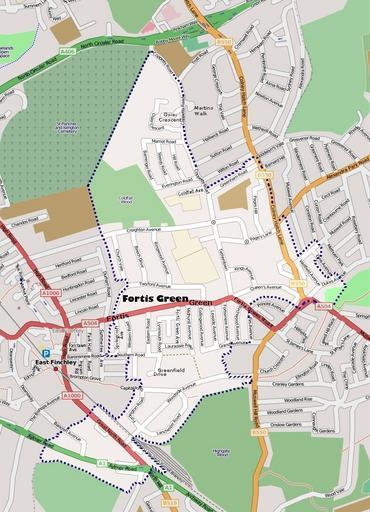
| Keywords: Fortis Green Ward map.jpg en A map of Fortis Green Ward in north London The original map is by Open Street Map and has been much modified with shading and additional road names added Open Street Map is a wiki map which states on their web site OpenStreetMap allows you to view edit and use geographical data in a collaborative way from anywhere on Earth Modified map by uploader Welkinridge 2008-07-20 Fortis Green Maps of the London Borough of Haringey | ||||