MAKE A MEME
View Large Image

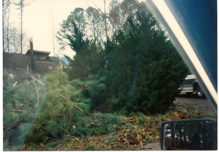
| View Original: | F2 to F3 Damage in Country Plantation Subdivision from the 11.22 1992 tornado.jpg (995x693) | |||
| Download: | Original | Medium | Small | Thumb |
| Courtesy of: | commons.wikimedia.org | More Like This | ||
| Keywords: F2 to F3 Damage in Country Plantation Subdivision from the 11.22 1992 tornado.jpg en This photo shows high-end F-2 or low-end F-3 damage evidenced by trees being snapped off leaving only one-fifth to one-quarter of their sizes The debarked trees are not shown if those trees were still there you would see no clearing in the middle of the photo neither is the well-built home that was blown off of its foundation the roof was damaged but remained in tact in the Country Plantation subdivision in Kennesaw Cobb County Georgia caused by a tornado that produced F-4 damage in other parts of Cobb County and in Cherokee County At one point the tornado was one-quarter-mile wide and only about 150 yards in the location in the photo In all the tornado injured 35+ people with no fatalities I still believe that the Country Plantation tornado was a separate or satellite tornado as the F-4 damage was occurring 3 miles to the northwest at the same time that this damage was occuring along a path parallel to the tornado that caused the damage in this photo However all track maps I have seen show only one tornado which if true took the most bizarre track that doesn't quite match up to the damage path 34 3 20 325971336405928 N 84 31 49 27276611328125 W Tornadoes in Georgia U S state Cobb County Georgia F3 tornadoes 1992 tornado damage 1992 in Georgia U S state | ||||