MAKE A MEME
View Large Image

| View Original: | Europe 1920 simplyfied.svg (2845x2737) | |||
| Download: | Original | Medium | Small | Thumb |
| Courtesy of: | commons.wikimedia.org | More Like This | ||
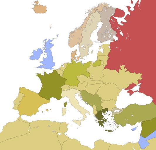
| Keywords: Europe 1920 simplyfied.svg map of Europe approximately referred to the year 1920 simplyfied version Image Europe 1920 svg by F l a n k e r http //www hipkiss org/data/maps/london-geographical-institute_the-peoples-atlas_1920_europe-after-the-great-war-1919_3992_3012_600 jpg London Geographical Institute map 2007-11-12 The Modificator Image Europe 1920 svg SVG maps of Europe Blank maps of Modern period Europe 1920 1920 | ||||