MAKE A MEME
View Large Image
| View Original: | Etolin_Strait.PNG (845x505) | |||
| Download: | Original | Medium | Small | Thumb |
| Courtesy of: | commons.wikimedia.org | More Like This | ||
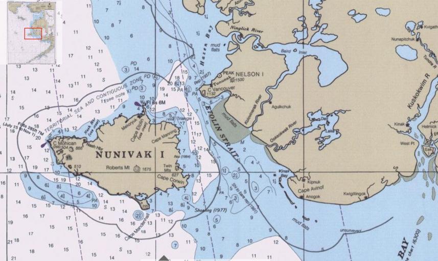
| Keywords: Etolin Strait.PNG en Detail of Bering Sea chart showing Etolin Strait and surroundings Historical Maps and Charts Project http //historicalcharts noaa gov/tiled_jpgs_done/zoomifyURLDrivenWebPage htm zoomifyImagePath 16006-12-2000 US NOAA Office of Coast Survey 2000 PD-USGov Straits of Alaska Bering Sea Maps of Nunivak Island Nelson Island Alaska Maps of Alaska | ||||