MAKE A MEME
View Large Image
| View Original: | Elm_Flats_River_Access.jpg (4608x3456) | |||
| Download: | Original | Medium | Small | Thumb |
| Courtesy of: | www.flickr.com | More Like This | ||
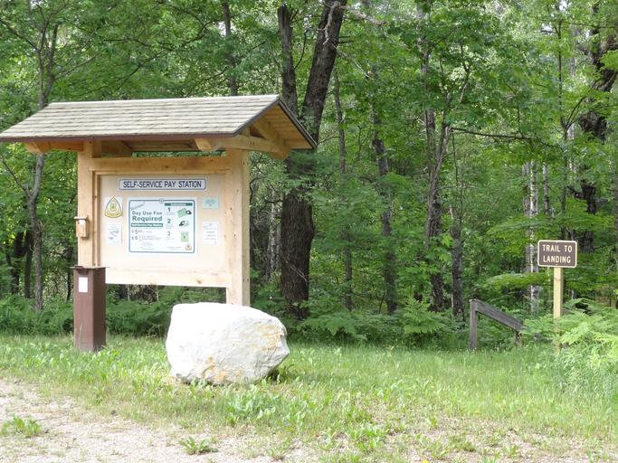
| Keywords: huron-manistee huronmanistee national forests manistee/cadillc manisteecadillc ranger district pine scenic river elm flats access information board bulletin fee tube michigan outdoor building architecture cabin This location marks the start of the permitted portion of the River. The parking area for this landing is located on a hill above the landing, which requires a walk up from the area. This stretch of the river is narrow. This location marks the start of the permitted portion of the River. The parking area for this landing is located on a hill above the landing, which requires a walk up from the area. This stretch of the river is narrow. | ||||