MAKE A MEME
View Large Image

| View Original: | Eastern_New_Guinea_and_New_Britain_1944.jpg (1161x917) | |||
| Download: | Original | Medium | Small | Thumb |
| Courtesy of: | commons.wikimedia.org | More Like This | ||
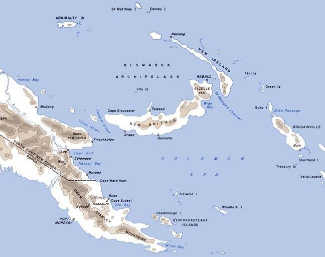
| Keywords: Eastern New Guinea and New Britain 1944.jpg Map of eastern New Guinea New Britain New Island and neighbouring islands with locations of importance in World War II marked CartwheelAreaMap jpg 2011-06-17 10 18 UTC F Temple derivative work Nick-D <span class signature-talk >talk</span> Cropped Nick-D CartwheelAreaMap jpg PD-USGov Original upload log This image is a derivative work of the following images File CartwheelAreaMap jpg licensed with Cc-pd-mark-footer PD-USGov 2006-12-05T06 19 24Z Cla68 2000x1020 415447 Bytes <nowiki>Map of the Cartwheel area of operations http //www ibiblio org/hyperwar/USA/USA-P-Rabaul/USA-P-Rabaul-3 html</nowiki> Uploaded with derivativeFX Maps of the New Guinea campaign | ||||