MAKE A MEME
View Large Image
| View Original: | Eastern_Jaulan_and_Western_Hauran,_1888.jpg (2529x1763) | |||
| Download: | Original | Medium | Small | Thumb |
| Courtesy of: | commons.wikimedia.org | More Like This | ||
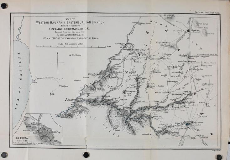
| Keywords: Eastern Jaulan and Western Hauran, 1888.jpg en Physical map of the plateau now in Syria and Israel From the book w Gottlieb Schumacher et al Across the Jordan; being an exploration and survey of part of Hauran and Jaulan 1889 edition 2014-07-24 01 17 47 https //ia600401 us archive org/BookReader/BookReaderImages php zip /2/items/acrossjordanbein00schu/acrossjordanbein00schu_jp2 zip file acrossjordanbein00schu_jp2/acrossjordanbein00schu_0005 jp2 scale 0 5 rotate 0 creator Edward Weller PD-scan 1884 PD-100 Uploaded with UploadWizard Maps of the Golan Heights Old maps of Israel Old maps of Syria Yarmouk River Old maps of the Sea of Galilee 1888 maps | ||||