MAKE A MEME
View Large Image
| View Original: | Eaa3781_001_0000113_00001_k2.jpg (1894x1748) | |||
| Download: | Original | Medium | Small | Thumb |
| Courtesy of: | commons.wikimedia.org | More Like This | ||
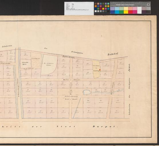
| Keywords: Eaa3781 001 0000113 00001 k2.jpg multiple image Other Parts of the map center 200 Eaa3781 001 0000113 00001 k1 jpg 1/2 en A map from Estonian National Archives with Reference code EAA 3781 1 113 sheet 1; 2/2 et Kaart Eesti Rahvusarhiivist Lähtekoodiga EAA 3781 1 113 leht 1; 2/2 1877 http //www ra ee/kaardid/index php/et/map/view id 37640 Robert Rech other versions Information_field de type City Plan sheet Single sheet map reproduction Printed Information_field Charte von den im III-ten Stadttheile Dorpats im Jahre 1877 vom Jamaschen Felde abgetheilten Grundstücken scale von 600 Fuss 17 2 cm Information_field EAA 3781 1 113 sheet 1 Information_field cm 65 182 Information_field print paper Custom license marker 2014 11 26 PD-old-70 Old maps of Tartu Tartu in the 19th century Uploaded with UploadWizard Images from the Estonian Historical Archives | ||||