MAKE A MEME
View Large Image
| View Original: | Droysens-21.jpg (8816x5775) | |||
| Download: | Original | Medium | Small | Thumb |
| Courtesy of: | commons.wikimedia.org | More Like This | ||
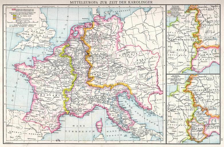
| Keywords: Droysens-21.jpg en Plate 21 of Professor G Droysens Allgemeiner Historischer Handatlas published by R Andrée own Droysen/Andrée; G Kaufmann rev 1886 PD-old-100 Carolus Magnus Atlas of Europe Maps from Allgemeiner Historischer Handatlas Maps showing history of the Early Middle Ages | ||||