MAKE A MEME
View Large Image
| View Original: | Districts of Luxembourg (1857-1867).png (203x270) | |||
| Download: | Original | Medium | Small | Thumb |
| Courtesy of: | commons.wikimedia.org | More Like This | ||
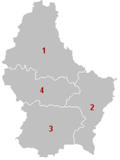
| Keywords: Districts of Luxembourg (1857-1867).png Map of Luxembourg depicting the districts of Luxembourg as they were between 1857 and 1867 The districts are as numbered Diekirch Grevenmacher Luxembourg Mersch Own work based on Image Groothertogdom LuxemburgKantons png 2006-08-11 User Bastin8 Released into public domain See licence below Maps of Luxembourg | ||||
.png)