MAKE A MEME
View Large Image
| View Original: | Deliniantur_in_hac_tabula.B.jpg (1025x391) | |||
| Download: | Original | Medium | Small | Thumb |
| Courtesy of: | commons.wikimedia.org | More Like This | ||
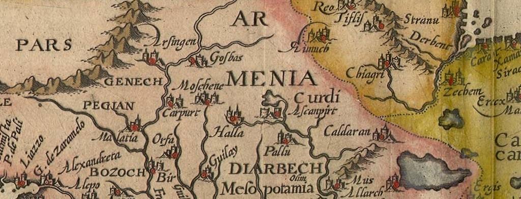
| Keywords: Deliniantur in hac tabula.B.jpg Pl 45 Map E 76 ; size 38 5 x 53 cm The regional map of Linschoten from the Southwest and South Asia Amsterdam 1596 From the British Library Maps 46900 15 16 Image Deliniantur in hac tabula JPG 1596 Langren Henricus PD-Art-100 ImageNote 1 655 12 74 46 1025 391 2 Tiflis Tbilisi ImageNoteEnd 1 1590 maps Langren Henricus Old maps of Armenia Old maps of the Caucasus Old maps of Turkey 16th-century maps of Georgia Maps of the history of Kurdish people | ||||