MAKE A MEME
View Large Image
| View Original: | De_Nordseeküste_(Karten)_02.jpg (5611x4874) | |||
| Download: | Original | Medium | Small | Thumb |
| Courtesy of: | commons.wikimedia.org | More Like This | ||
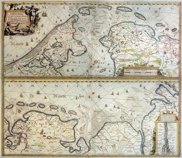
| Keywords: De Nordseeküste (Karten) 02.jpg Nieuwe Caerte waerinne vertoont wordt de gantsche Vaert van Amsterdam over de WATTEN tot de stadt Hamborch toe Tabula nova In qua accurata demonstratur tota Nacigatio abe AMSTELODAMI statione per vada vulgo de WATTEN HAMBURGUM usq scan from a copy of the original 44 5cm 50 5 cm 1634 Henricus Hondius PD-old-100 De Nordseeküste Karten De Wikisource book leaflet Joergens mi Old maps of the Netherlands 1634 Maps of East Frisia Repro200706 | ||||
_02.jpg)