MAKE A MEME
View Large Image
| View Original: | DDR-Bezirk-Gera.png (1500x2036) | |||
| Download: | Original | Medium | Small | Thumb |
| Courtesy of: | commons.wikimedia.org | More Like This | ||
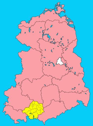
| Keywords: DDR-Bezirk-Gera.png Lage des Bezirks Gera in der Deutschen Demokratischen Republik der zwischen 1952 und 1990 bestand Das Gebiet des Bezirks gehört nun zum Freistaat ThĂĽringen Map of the District of Gera in the German Democratic Republic East Germany The districts existed between 1952 and 1990 All of the district's area belongs now to the Free State of Thuringia own 2005-05-24 Störfix Released into the public domain by the author de wikipedia Störfix original upload log All user names refer to de wikipedia 2007-11-08 23 38 ChristianBier 1500×2036×8 54515 bytes <nowiki> Andere Versionen </nowiki> 2005-10-27 20 22 Torsten Schleese 1500×2036×8 44100 bytes <nowiki>Bezirk Gera mit Kreisen selbstgemalt</nowiki> 2005-05-24 18 59 Störfix 1093×1583×8 63854 bytes <nowiki>Karte Bezirk Gera der DDR selbst abgezeichnet Gemeinfrei</nowiki> Gera District GDR Gera Maps of the history of Thuringia Gera Bezirk Locator maps of the German Democratic Republic | ||||