MAKE A MEME
View Large Image
| View Original: | Curlfi sole distribution map.png (1425x625) | |||
| Download: | Original | Medium | Small | Thumb |
| Courtesy of: | commons.wikimedia.org | More Like This | ||
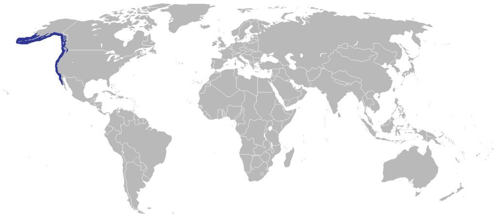
| Keywords: Curlfi sole distribution map.png Distribution of the Curlfin sole using a blank map of the world showing 2005 borders i e before the independence of Montenegro and Kosovo Based on Image BlankMap-World png; as it is PD this is too This map is accurate for the period between May 20 2002 East Timor independent from Indonesia and June 3 2006 Montenegro independent from Serbia and Montenegro ” notwithstanding the renaming of Yugoslavia to Serbia and Montenegro on February 3 2003 Previous map Image BlankMap-World-2000 png BlankMap-World-2005 png 2010-04-21 06 38 UTC BlankMap-World-2005 png PD-User derivative work Sjc196 <span class signature-talk >talk</span> Original upload log This image is a derivative work of the following images File BlankMap-World-2005 png licensed with PD-user 2010-03-30T22 38 36Z The spesh man 1425x625 58229 Bytes <nowiki>changes the same as modern one</nowiki> 2008-04-12T02 27 16Z Hoshie 1425x625 50547 Bytes <nowiki>Blank map of the world showing 2005 borders i e before the independence of Montenegro and Kosovo Based off Image BlankMap-World png; as it is PD this is too This map is accurite for the period between May 20 2002</nowiki> 2005 diagrams | ||||