MAKE A MEME
View Large Image
| View Original: | Cumberland River at Mill Springs.jpg (6016x4000) | |||
| Download: | Original | Medium | Small | Thumb |
| Courtesy of: | commons.wikimedia.org | More Like This | ||
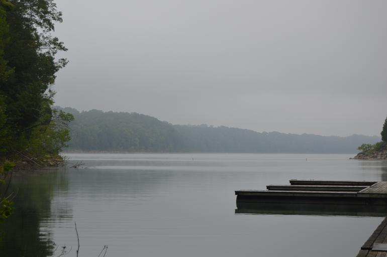
| Keywords: Cumberland River at Mill Springs.jpg 80001665 36 56 5 N 84 46 44 W Overview of the w Cumberland River looking north from the Wayne County Kentucky Wayne County side toward the Pulaski County Kentucky Pulaski County side Both sides of the river at this point are part of the Mill Springs Battlefield at which the pivotal Battle of Mill Springs was fought in January 1862 The battlefield has been designated a National Historic Landmark National Historic Landmark District Own 2014-07-25 User Nyttend Nyttend None Battle of Mill Springs Cumberland River Historic districts in Kentucky National Historic Landmarks in Kentucky National Register of Historic Places in Pulaski County Kentucky National Register of Historic Places in Wayne County Kentucky Scenery pictures by User Nyttend | ||||