MAKE A MEME
View Large Image
| View Original: | Crossroads Baker Target Ship Map.png (500x500) | |||
| Download: | Original | Medium | Small | Thumb |
| Courtesy of: | commons.wikimedia.org | More Like This | ||
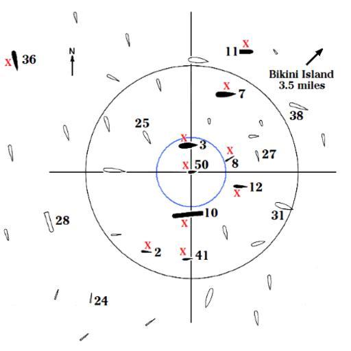
| Keywords: Crossroads Baker Target Ship Map.png military map subpixel rendering not appropriate for all display types and scaling Image converted from gif to png with no changes Arkansas The submarines were submerged the Pilotfish ship 8 to a keel depth of 56 feet and the Apogon ship 2 to a keel depth of 100 feet Own work by uploader Data in the map come from Delgado James P et al The Archeology of the Atomic Bomb National Park Service Santa Fe New Mexico 1991 The Able map is on p 16 the Baker map on p 17 and ship damage and distances on pp 86-136 The full text of this reference is posted on the Internet http //www nps gov/history/history/online_books/swcrc/37/index htm HowardMorland 2008-10-28 Crossroads Baker Military maps of the United States | ||||