MAKE A MEME
View Large Image
| View Original: | Crataegus_saligna_range_map.png (680x727) | |||
| Download: | Original | Medium | Small | Thumb |
| Courtesy of: | commons.wikimedia.org | More Like This | ||
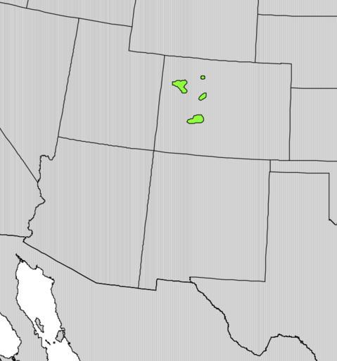
| Keywords: Crataegus saligna range map.png en Range map of Crataegus saligna Digital representation of Atlas of United States Trees by Elbert L Little Jr http //esp cr usgs gov/data/atlas/little/ U S Geological Survey 1999 PD-USGov-Interior-USGS Crataegus saligna range maps PD-USGov | ||||