MAKE A MEME
View Large Image
| View Original: | Cotton-map-transcript.png (819x966) | |||
| Download: | Original | Medium | Small | Thumb |
| Courtesy of: | commons.wikimedia.org | More Like This | ||
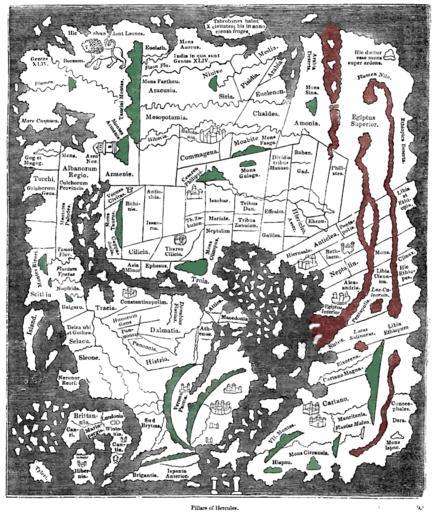
| Keywords: Cotton-map-transcript.png Tracing of the 'Cotton' Anglo-Saxon world map British Library; Cotton MSS Tib B V folio 56 ; date probably about AD 1000 as published ca 1836 with printed place-names Ceylon Taprobanea is at top Britain at lower left Green and red colours have been added by me to indicate similarly coloured areas representing mountains and the waters of Africa respectively on the original map Please note that accuracy of the tracing and caption transcripts is not guaranteed Knight Charles comp Old England A Pictorial Museum London Sangster c1836 1000 transcript c1836 Unknown medieval redrawn ca 1836 PD-old Maps made in the 10th century | ||||