MAKE A MEME
View Large Image
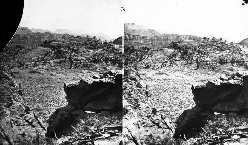
| View Original: | Colob_Country._Buttes_of_the_Mukuntuweap_Branch_of_the_Virgin_River_in_distance._On_the_horizon_is_shownthe_Great_Temple,_or,_as_the_Mormons_call_it,_"Steamboat_Rock,"_which_is_7500_feet_high..jpg (6649x3912) | |||
| Download: | Original | Medium | Small | Thumb |
| Courtesy of: | www.flickr.com | More Like This | ||
| Keywords: stereoscopic stereophotography stereophotographs historical usgs history geology mapping black and white blackandwhite bnw stereograph blackandwhite monochrome outdoor black and white Colob Country. Buttes of the Mukuntuweap Branch of the Virgin River in distance. On the horizon is shownthe Great Temple, or, as the Mormons call it, "Steamboat Rock," which is 7500 feet high. Springdale is just the other side of the square-topped buttes. Southern Utah.n.d. (Negative broken). (Stereoscopic view). Colob Country. Buttes of the Mukuntuweap Branch of the Virgin River in distance. On the horizon is shownthe Great Temple, or, as the Mormons call it, "Steamboat Rock," which is 7500 feet high. Springdale is just the other side of the square-topped buttes. Southern Utah.n.d. (Negative broken). (Stereoscopic view). | ||||