MAKE A MEME
View Large Image
| View Original: | Clarion Island - Map Finished (1-50,000).jpg (1240x904) | |||
| Download: | Original | Medium | Small | Thumb |
| Courtesy of: | commons.wikimedia.org | More Like This | ||
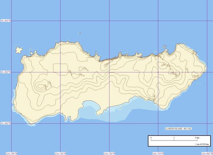
| Keywords: Clarion Island - Map Finished (1-50,000).jpg Topographische Karte der Insel Clarion Revillagigedo-Inseln Mexiko EVS Precision Island Map of Clarion Island Revillagigedo Islands Mexico own using Marplot Mapping Software 2007-02 Peter Minton Peter Minton Original upload log 1 date/time username dimension file size edit summary ---- 04 44 17 February 2007 Pjminton 1240×904 280 KB <nowiki> Map Made by PJ Minton Using Marplot Mapping Software </nowiki> ---- 04 41 17 February 2007 Pjminton 1240×904 129 KB <nowiki> Map Made by PJ Minton Using Marplot Mapping Software </nowiki> ---- Maps of Colima Clarión EVS Precision Island Maps | ||||
.jpg)