MAKE A MEME
View Large Image
| View Original: | Clackmannanshire_West_1895.png (1000x819) | |||
| Download: | Original | Medium | Small | Thumb |
| Courtesy of: | commons.wikimedia.org | More Like This | ||
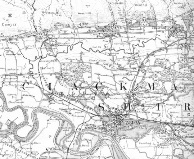
| Keywords: Clackmannanshire West 1895.png en A portion of the OS sheet 39 - Stirling 1 inch to 1 mile 1 63 360 Surveyed 1859 - 1863 published 1869 revised 1895 published 1897 This portion of the map covers Alloa Alva Clackmannan Coalsnaughton Menstrie Sauchie Tillicoultry and Tullibody Ordnance Survey Office Southampton UK Colonel J Farquharson C B R E Director General 1897 1895-01-01 OldOS Maps of Clackmannanshire Ordnance Survey 1 63360 maps PD-old | ||||