MAKE A MEME
View Large Image

| View Original: | China_1814-1816.jpg (28165x15994) | |||
| Download: | Original | Medium | Small | Thumb |
| Courtesy of: | commons.wikimedia.org | More Like This | ||
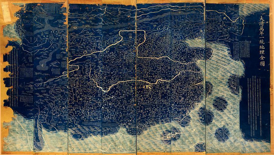
| Keywords: China 1814-1816.jpg LargeImage en Da Qing Wan Nian Yi Tong Di Li Quan Tu Map of Qing Dynasty's Eternal Rules This map covers the area from Korea to Pamirs from Heilongjiang river to the islands of the South China Sea It shows the mountains rivers coasts territory and administrative divisions of the Qing Empire as well as a distorted view of surrounding countries Wood block print Revised edition of the map originally drawn by Huang Qianren in 1767 Scale ca 1 2 500 000 zh Õż¦µĖģõĖćÕ╣┤õĖ ń╗¤Õ ░ńÉåÕģ©ÕøŠ LOC-map g7820 ct002256 gmd Copy form Huang Qianren 1814-1816 19th-century maps of China Old maps of Asia Maps in Chinese Qing Dynasty PD-USGov | ||||