MAKE A MEME
View Large Image

| View Original: | China1740.jpg (1400x1564) | |||
| Download: | Original | Medium | Small | Thumb |
| Courtesy of: | commons.wikimedia.org | More Like This | ||
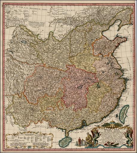
| Keywords: China1740.jpg vi Bß║Żn ─æß╗ō Trung Quß╗æc thß╗ i nh├Ā Thanh ─æß║¦u triß╗üu C├Ān Long nhß╗»ng n─ām 1735-1740 Johann M Haas tß║Īo ra dß╗▒a tr├¬n c├Īc t├Īc phß║®m cß╗¦a Du Halder v├Ā D'Anville Jean Baptiste Bourguignon d'Anville 1697-1782 https //www raremaps com/gallery/archivedetail/2188/Regni_Sinae_vel_Sinae_Propriae_Mappa_et_Descriptio_Gegraphica_ex_mappis/Haas html Johann Matthaus Haas R P Du Halde Jean Baptiste Bourguignon d'Anville 1740 PD-old-100 18th-century maps of China | ||||