MAKE A MEME
View Large Image
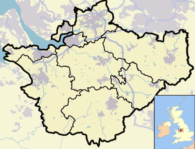
| View Original: | Cheshire outline map with UK.png (722x552) | |||
| Download: | Original | Medium | Small | Thumb |
| Courtesy of: | commons.wikimedia.org | More Like This | ||
| Keywords: Cheshire outline map with UK.png Map of en Cheshire and surrounding area with micromap of the British Isles for context Urban areas are shown in grey water bodies in light-blue motorways in blue with white stripe and county and borough boundaries in black en wikipedia 2007-03-29 Jhamez84 wikipedia en Image Cheshire_outline_map_with_UK_ 2009 png for boundaries expected to come into effect for 2009 Jhamez84 original upload log page en wikipedia Cheshire_outline_map_with_UK png 2007-04-11 23 50 Jhamez84 722×552×8 421996 bytes <nowiki>correcting positioning of some urban areas they were too east-northeasterly </nowiki> 2007-04-11 17 14 Jhamez84 722×552×8 420187 bytes <nowiki>fixing issues in and around the M6 motorway moving it to the west per discussion </nowiki> 2007-04-11 00 38 Jhamez84 722×552×8 438177 bytes <nowiki>Much more detailed and thus hopefully more accurate version of the Cheshire map </nowiki> 2007-03-29 23 48 Jhamez84 800×558×8 446798 bytes <nowiki>Map of Cheshire and surrounding area with micromap of the British Isles for context Urban areas are shown in grey water bodies in light-blue motorways in blue with white stripe and county and borough boundaries in black </nowiki> Maps of Cheshire Locator maps of counties of England | ||||