MAKE A MEME
View Large Image
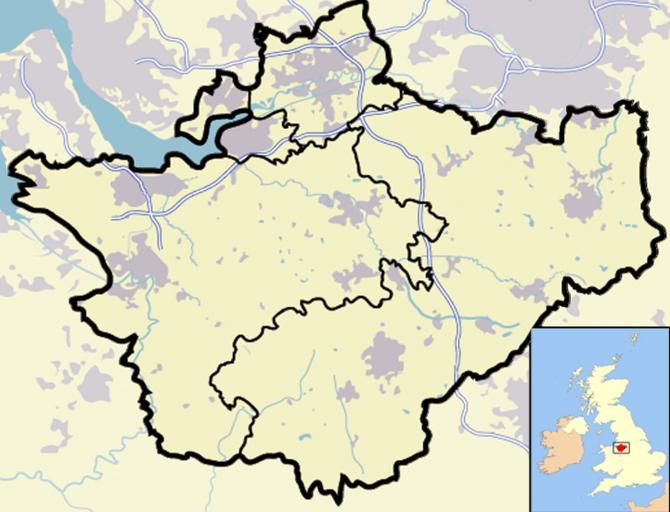
| View Original: | Cheshire outline map with UK (2009).png (722x552) | |||
| Download: | Original | Medium | Small | Thumb |
| Courtesy of: | commons.wikimedia.org | More Like This | ||
| Keywords: Cheshire outline map with UK (2009).png A map of the county of Cheshire England United Kingdom This map has the district boundaries as used from 2009 Own 2007-12 Jhamez84 Cheshire outline map 2009 png Image Cheshire outline map with UK png for 1974-2009 boundaries Maps of Cheshire Locator maps of counties of England | ||||
.png)